
Belgium
Demonstration pilot | Replication Pilot
Our Belgium Climate Adaptation Lab is based in the north of the country, in the coastal region of Flanders. By implementing both technical and nature-based solutions, the Lab will improve water retention and relieve heat stress on both a local level in the city of Ostend, and the regional level across Flanders.
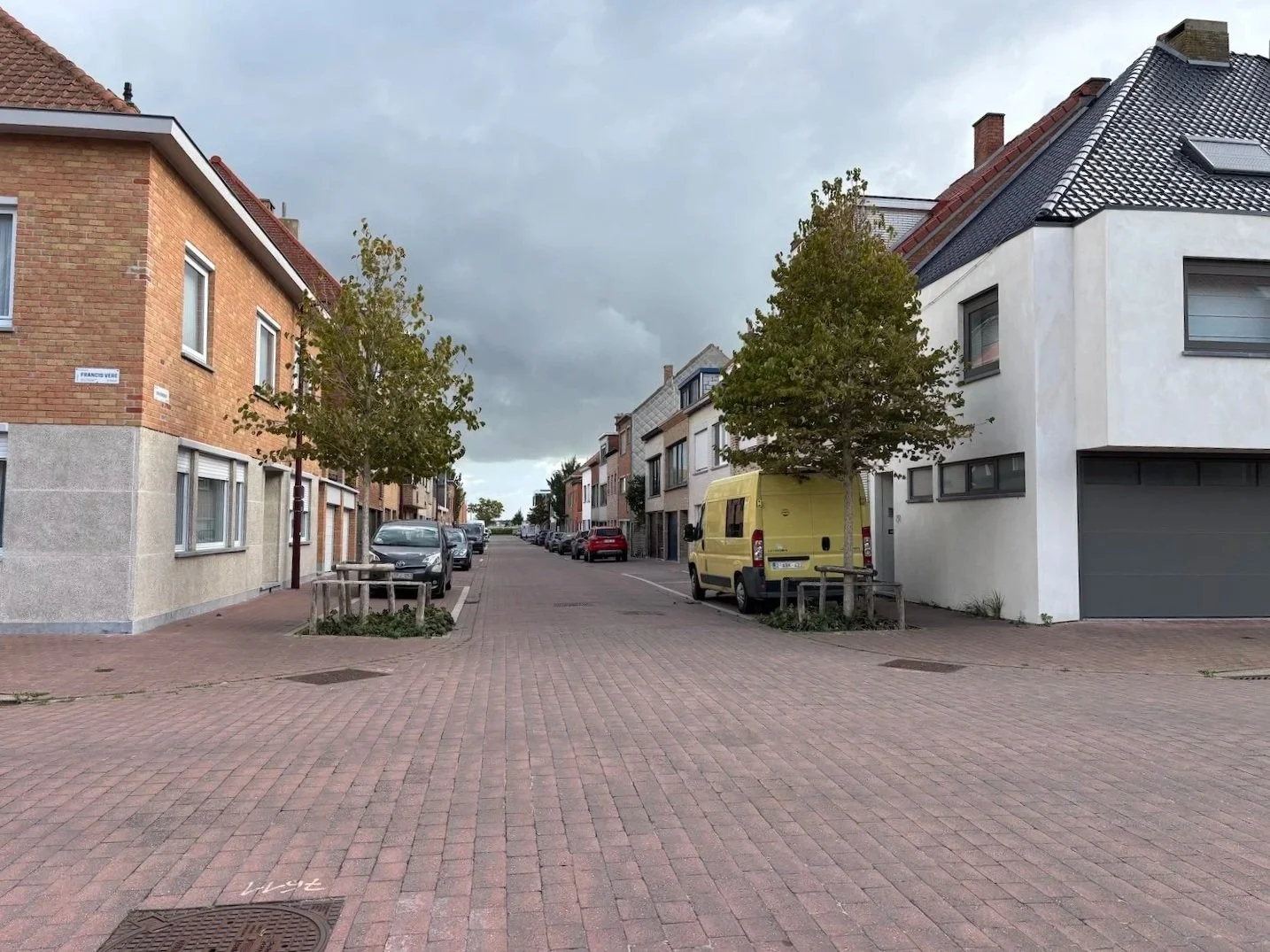
With over 70,000 residents, Ostend is the largest city on the Belgian coast and welcomes over 3 million tourists a year, tripling the city’s population in the summer months. To test and implement climate adaptation solutions, the Belgium Climate Adaptation Lab is working in the city’s Vuurtorenwijk (‘the lighthouse neighbourhood’ in English), an area characterised by diverse residential and commercial structures and spatial morphology, as well as important natural and recreational areas. Because of this, adaptation solutions must also consider the Vuurtorenwijk’s increasing population density and need for space dedicated to economic activity.
The Flanders region is a highly urbanised region that has a diverse economy based around the industrial, transport and services sectors. By collaborating on the work in Ostend, the team in Flanders will replicate and upscale climate adaptation solutions on a regional level.
Belgium Climate Adaptation Lab at a glance


Landscape
Climate challenges
Potential solutions and tools
Sectors involved
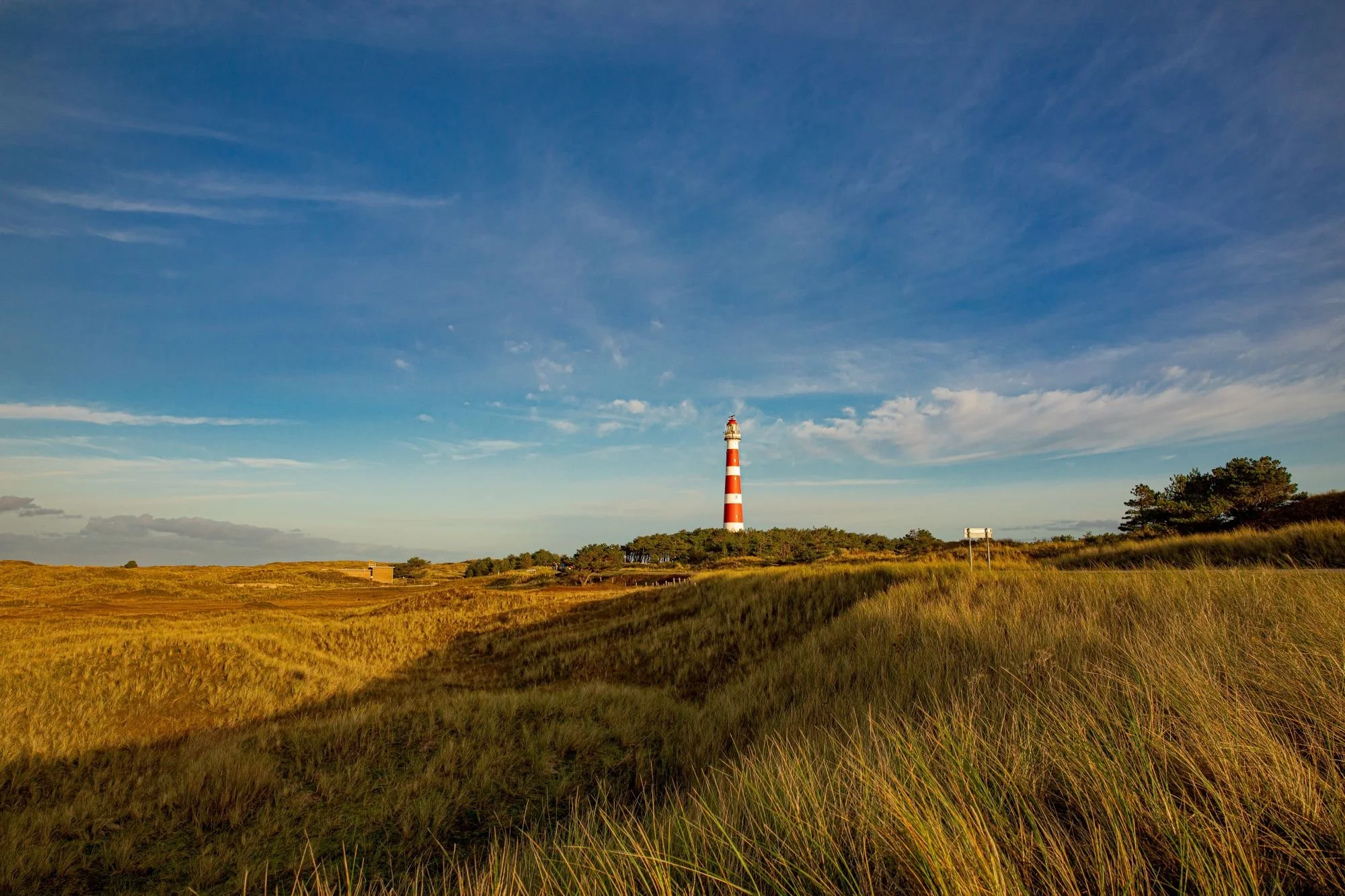
Urban waterfronts, coastal regions
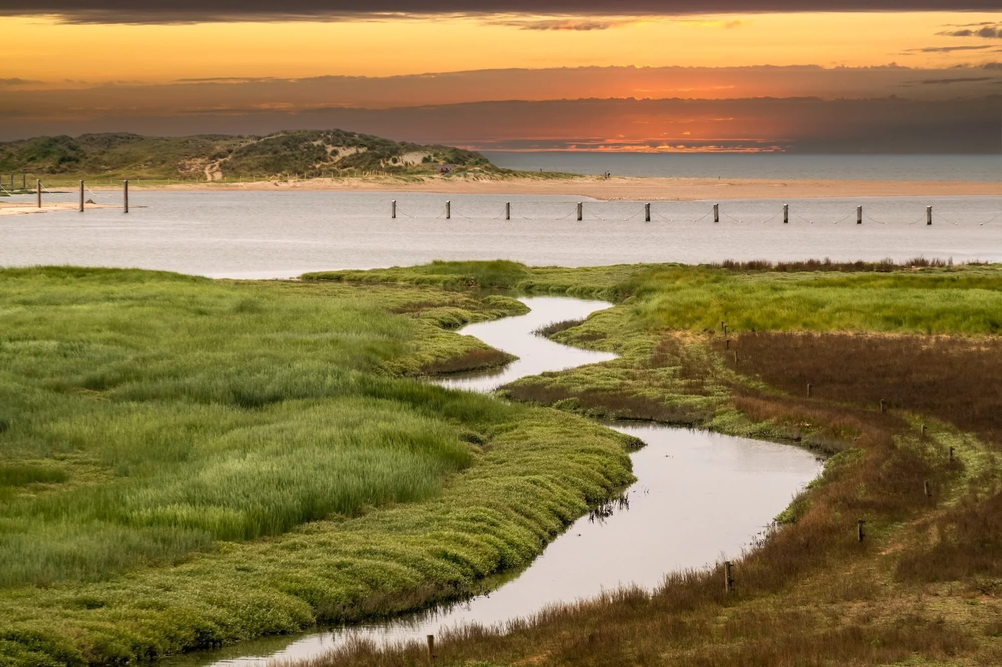
Sea level rise, drought and extreme heat, flooding
Infiltration strategies, technical solutions, nature-based solutions
Housing, tourism
Climate challenges facing Ostend and Flanders

Like many coastal regions in Europe, Ostend and Flanders are facing increasing risks from:
Sea level rise
Drought and extreme heat
Flood risk
These climate risks not only cause problems for natural areas in both Ostend and Flanders, but also cause significant harm to residents in urban areas and the local economy.
What are the potential climate adaptation solutions?
Various climate adaptation solutions will be tested and implemented in the Belgium Climate Adaptation Lab, depending on the location, morphology and soil characteristics of the area within the region.
In Ostend, the Lab is using spatial modelling to develop a neighbourhood structure plan which will provide a vision for transforming the Vuurtorenwijk into a climate resilient and regenerative district, with solutions tailored to its local conditions.
In the northern part of the district, for example, the sandy soils lend themselves to nature-based solutions that increase infiltration and the sponge effect. Whereas in the south, which mostly consists of workers’ housing, clay soils and limited space mean a mixture of technical and nature-based solutions must be used to both improve the soil’s infiltration capacity and to relieve heat stress for residents. Because the neighbourhood has such a variety of functions, the Belgium Climate Adaptation Lab is focusing on raising awareness and public support for climate adaptation measures, particularly amongst those involved in the residential and business sectors.
As local policies in Belgium have often ignored their impacts on a regional scale, in Flanders the team will upscale solutions implemented in Ostend by linking them to policy domains such as land use planning, mobility and water management. While a key focus in Flanders will be depaving and restoring permeable surfaces to tackle the urban heat island effect, another objective is ensuring water availability for farmers. By reducing and managing flood risks, the Lab also aims to build resilience for agricultural landscapes in the region.
Further reading
Partners


Related Climate Adaptation Labs
The Belgium Climate Adaptation Lab exchanging knowledge with the SMARTER team in the Netherlands, where similar challenges are being faced.